Veneto-Kanalia
North Pelion
Veneto-Kanalia
The Veneto-Kanalia trail follows the course of the old track used by the muleteer and shepherds of Veneto to get down to the villages of Lake Karla.
From Kanalia, the people of Veneto easily reached Volos, following a safer road than the short but impassable in winter mountain road from the monasteries of Flamouri and Sourvia.
The Veneto-Kanalia pathway converged with the Keramidi-Kanalia track above the Kanalia area. These two tracks were the main communication roads from the isolated villages of Northern Pelion to the annual bazaars and markets of the heart of Magnesia. Well trodden and with gentle slopes, the two old roads have arrived in modern times quite coherent and clear, and - above all - just a bit fragmented by the new road network.
Text and photos: T. Adamakopoulos

topoguide Greece
GUIDES TO MT PELION

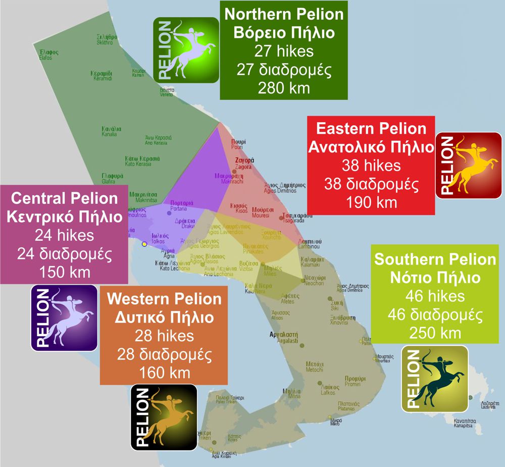
North Pelion topoguide is available for Android devices along with dozens of guides of other regions of Greece, within the hiking application topoguide Greece. Get North Pelion topoguide as an in-app purchase through the application.
North Pelion topoguide is also available for iOS (iPhone και iPad) devices within the hiking application Topoguide Greece. Get the North Pelion topoguide as an in-app purchase via the application.
North Pelion is a member of the Central Greece topoguides group.
It is very interesting that topoguide Greece has the ability to simultaneously display many areas, thus allowing the overall view of the detailed map of the whole of Mt Pelion and the easy alternation of the routes, the Points Of Interest and the dozens of pages of the guide with the countless photos.

